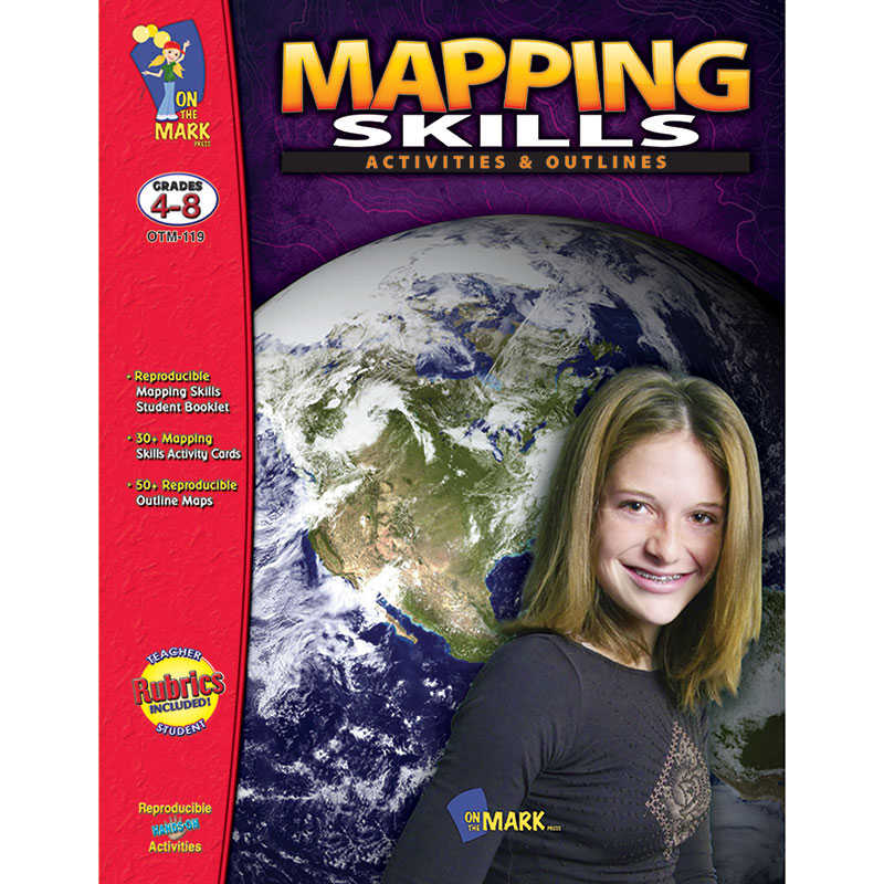
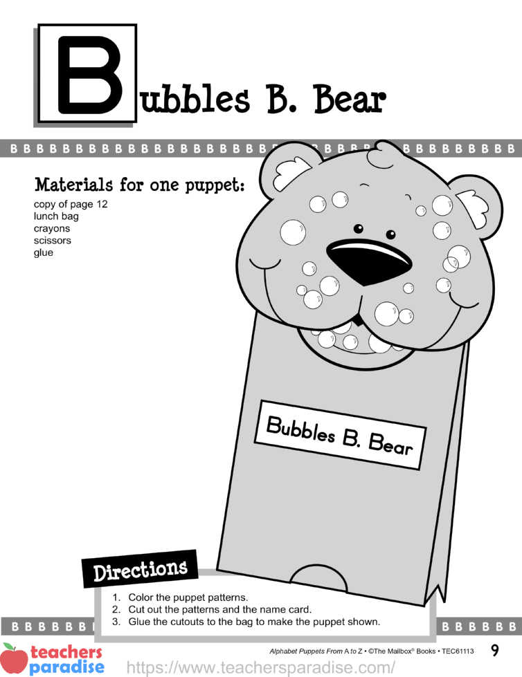
On the Mark Press Mapping Skills Activities & Outlines, Grades 4-8
Description
This resource provides in-depth coverage of the skill needs in map reading: north-south-east-west, legend, scale, longitude and latitude. Students make their own maps of the classroom, school and neighborhood, locate places on a map, and find countries using coordinates. Includes over 50 reproducible up-to-date maps of countries and regions of the world. Assessment rubrics for teachers and students are also provided. 128 pages.
Additional information
| Weight | 0.71 lbs |
|---|---|
| Dimensions | 11.00 × 8.50 × 0.45 in |
You must be logged in to post a review.
Specifications
Unit of Measure: EachCountry of Origin: CAN
Package Count: 1
Barcode: 771018010199
HTS USCode: 4901101000
Related products
-
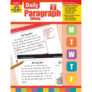
Evan-Moor Educational Publishers Daily Paragraph Editing Book, Grade 2
$25.99 Add to cart -
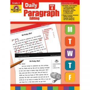
Evan-Moor Educational Publishers Daily Paragraph Editing Book, Grade 4
$25.99 Add to cart -
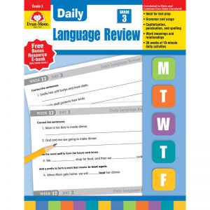
Evan-Moor Educational Publishers Daily Language Review Teacher’s Edition, Grade 3
$23.99 Add to cart -
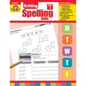
Evan-Moor Educational Publishers Building Spelling Skills, Teacher’s Edition, Grade 1
$24.99 Add to cart


Reviews
There are no reviews yet.