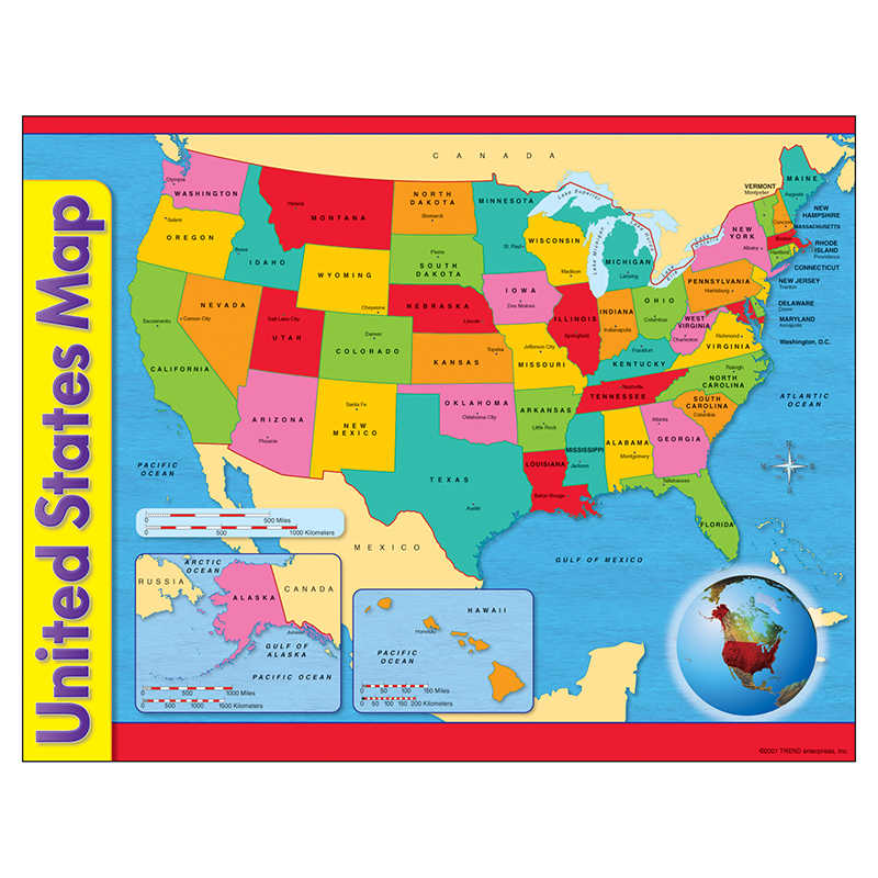
TREND United States Map Learning Chart, 17″ x 22″
$4.49

In stock
SKU: T-38097
Categories: Maps & Map Skills, Social Studies
Tags: activities, america, capitals, chart, classroom, distance, geography, homeschool, instruction, learning, Map, political, Poster, review, skill, Social Studies, states, TREND, united states, USA
Brand: TREND
• Map shows all 50 states including Alaska and Hawaii.
• Inset globe shows Western Hemisphere. State capitals and key water features labeled.
• Extra Value: Back of chart features reproducible activities, subject information, and helpful tips.
• 17" x 22" size appropriate for classrooms as well as smaller workspaces & home use.
Description
Map shows all 50 states including Alaska and Hawaii. Inset globe shows Western Hemisphere. Distance scale in both miles and kilometers is included. The back of the chart features teacher-created reproducible activities, subject information, and helpful hints. 17″ x 22″ classroom size.
Additional information
| Weight | 0.14 lbs |
|---|---|
| Dimensions | 22.00 × 17.00 × 0.01 in |
Be the first to review “TREND United States Map Learning Chart, 17″ x 22″” Cancel reply
You must be logged in to post a review.
Specifications
Unit of Measure: EachCountry of Origin: USA
Color: Multi
Material: Paper
Package Contains: 1 chart
Package Count: 1
Barcode: 078628380972
HTS USCode: 4905990000



Reviews
There are no reviews yet.