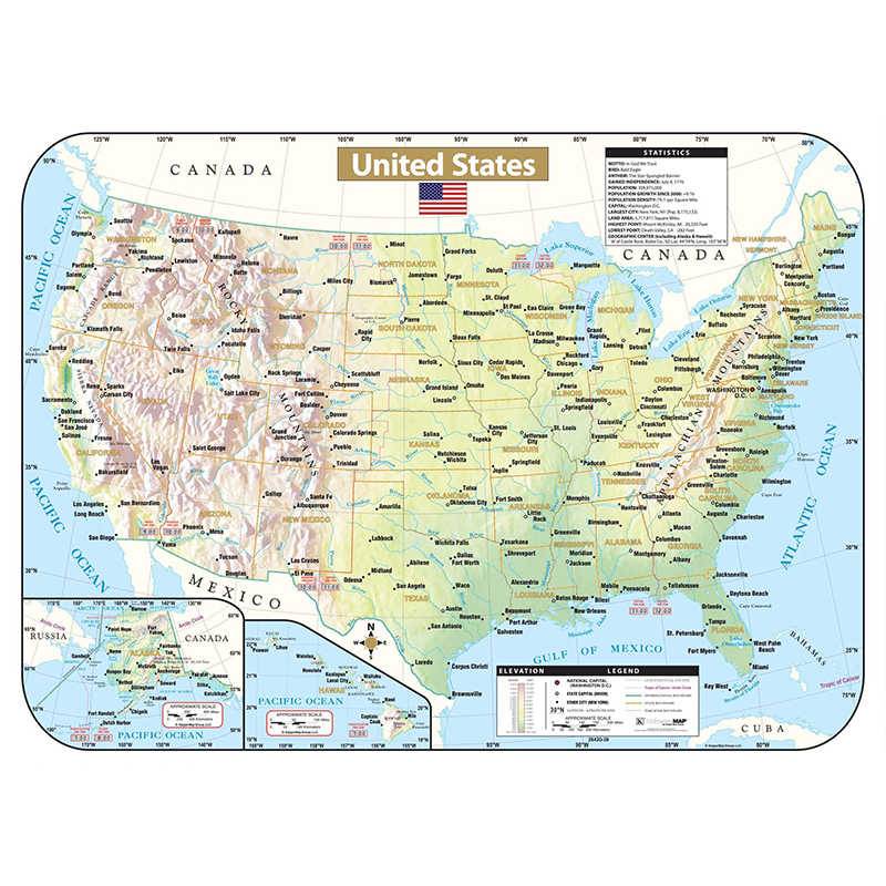
Kappa Map Shaded State Wipe-Off Maps, U.S.
$19.95
Out of stock
Description
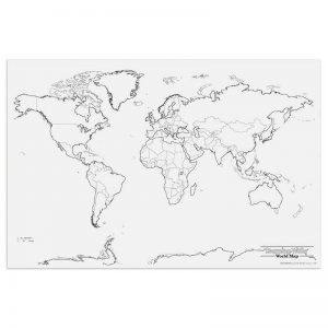
The United States Shaded Relief Topographical Wall Map by Kappa Map Group provides historical, geographical, and anecdotal information, inset maps of Alaska and Hawaii, an elevation chart, symbols and names for the national capitol, state capitols, and major cities. Also shows international and state boundaries, the Continental Divide, time zones, and county boundaries. Measures 28″ x 38″.
Additional information
| Weight | 0.50 lbs |
|---|---|
| Dimensions | 38.00 × 28.00 × 2.00 in |
You must be logged in to post a review.
Specifications
Unit of Measure: EachCountry of Origin: USA
Color: Multi
Material: Laminated Paper
Product Size: 28" x 38"
Package Contains: 1 Map
Battery Included: N
Barcode: 024327404204
HTS USCode: 4905990000
Related products
-
Evan-Moor Educational Publishers Daily Geography Practice Book, Teacher’s Edition, Grade 4
$29.99 Add to cart -
Replogle Globes Light Blue Political Inflate-a-Globes, 16″
$13.78 Add to cart -
Replogle Globes Treasury Floor Model Globe, 12″
$103.73 Add to cart -
Pacon® Learning Walls, World Map, 48″ x 72″, 1 Piece
$32.24 Add to cart


Reviews
There are no reviews yet.